American Pacific Mining Nears Completion of Underground LiDAR Survey to Advance Madison Project Development
Rhea-AI Summary
American Pacific Mining (OTCQX: USGDF) has begun a high-resolution underground control and LiDAR survey at the Madison Copper-Gold Project near Silver Star, Montana. WET and Dengel Surveying will traverse the decline to ~800 feet and use an Emesent HVM100 to produce geolocated point clouds and a 3D mesh.
Field work is expected to finish in April 2026 with final deliverables approximately three weeks after completion. The dataset will support 3D geological modeling, refined drill targeting, and underground-access planning.
AI-generated analysis. Not financial advice.
Positive
- None.
Negative
- None.
News Market Reaction – USGDF
On the day this news was published, USGDF gained 2.27%, reflecting a moderate positive market reaction.
Data tracked by StockTitan Argus on the day of publication.
Vancouver, British Columbia--(Newsfile Corp. - April 28, 2026) - American Pacific Mining Corp. (CSE: USGD) (OTCQX: USGDF) (FSE: 1QC) ("American Pacific", or the "Company") is pleased to announce the initiation of a detailed underground survey program at its Madison Copper-Gold Project ("Madison" or the "Project") located near Silver Star, Montana.
The Company has engaged Water & Environmental Technologies, Inc. (WET), in collaboration with Dengel Surveying, to complete a high-resolution control survey and LiDAR scan of the historical Madison Mine underground ramp. The program is designed to provide critical spatial data to support ongoing geological modeling, targeting, and future drill planning.
Survey Program Overview
The scope of work includes two primary components:
- Control Survey
- Establishing precise underground and surface control points
- Integrating surface control with underground survey control to ensure spatial accuracy
- Traversing the decline to approximately 800 feet from the mine entrance, near the current water level
- LiDAR Ramp Scan
- High-resolution 3D scanning of the underground ramp using the Emesent HVM100 system, designed for GPS-denied environments
- Placement of reflective targets to accurately geo-reference the dataset
- Generation of:
- Geolocated point cloud
- 3D mesh model
Field work is expected to be completed in April 2026, with final deliverables anticipated within approximately three weeks following completion of field activities.
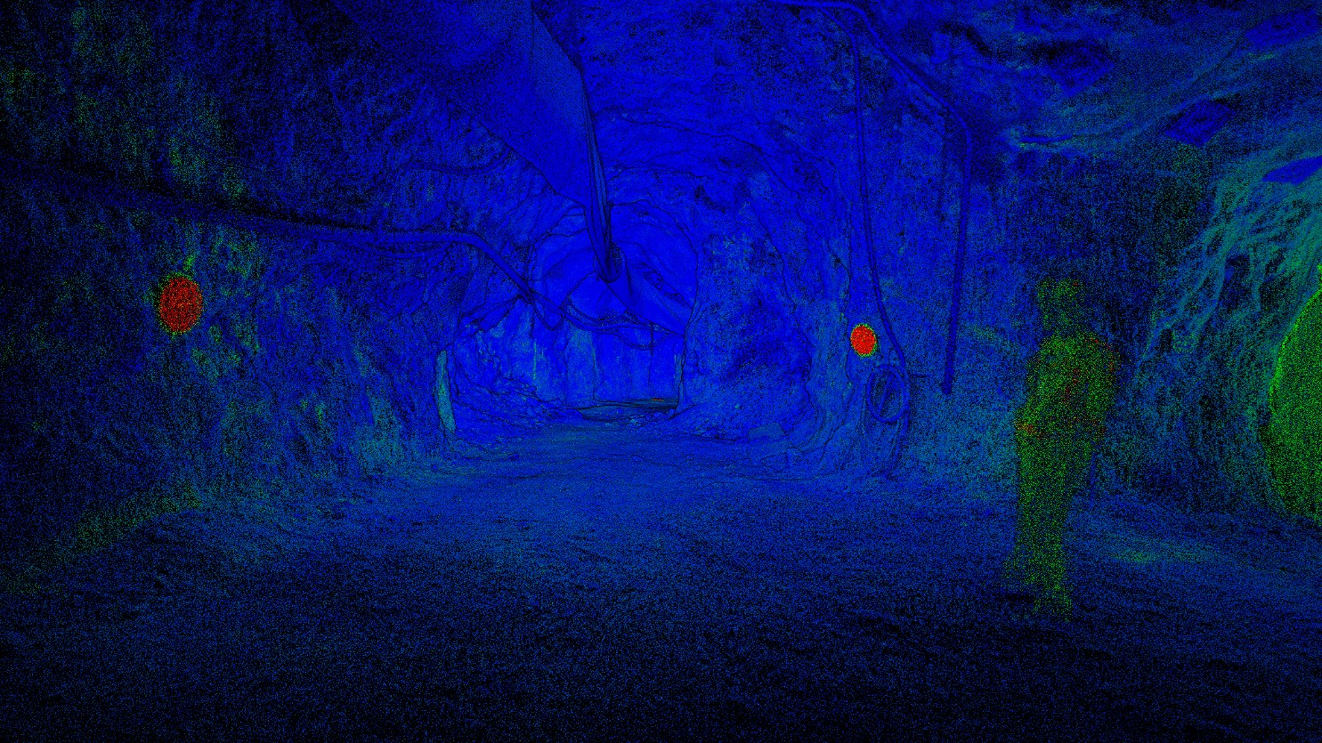
Photo 1: Preliminary image of underground data captured during state-of-the-art survey.
To view an enhanced version of this graphic, please visit:
https://images.newsfilecorp.com/files/10322/294419_70dceb90e4e3b9f1_001full.jpg
Strategic Rationale
This survey represents a key step in advancing the Madison Project by:
- Establishing a high-precision 3D framework of existing underground workings
- Enhancing the Company's ability to integrate historical data with modern datasets
- Supporting refined targeting of deeper skarn and porphyry mineralization
- De-risking future drill collar positioning and underground access planning
The resulting dataset will form a foundational component of the Company's evolving district-scale geological model, enabling improved interpretation of structural controls and fluid pathways associated with mineralization.
Next Steps
The Company will integrate the survey outputs into its 3D geological model and utilize the data to:
- Refine drill targeting beneath historical workings
- Evaluate potential underground access strategies
"This underground LiDAR survey is critically important as it's the first dependable underground dataset ever amassed at Madison uniting the various historical survey methods into one accurate and verifiable package," commented Managing Director of Exploration, Eric Saderholm. "With improved underground access caused by receding water, our team has seized the opportunity to rectify and eliminate any previous errors and variances in the available data, both surface and underground. The importance of this procedure for modeling, drilling and future mineral inventory calculations cannot be understated."
Qualified Person Statement
Technical aspects of this press release have been reviewed and approved by the designated Qualified Person under National Instrument 43-101, Eric Saderholm, P.Geo., Managing Director of Exploration for the Company.
About American Pacific Mining Corp.
American Pacific Mining Corp. is a precious and base metals explorer and developer focused on opportunities in the Western United States. The Company's flagship asset is the
American Pacific is incorporated pursuant to the laws of British Columbia and its head office is located at Suite 910 – 510 Burrard Street Vancouver, BC, V6C 3A8.
On behalf of the American Pacific Mining Corp Board of Directors:
Warwick Smith, CEO & Director
Corporate Office: Suite 910 – 510 Burrard Street
Vancouver, BC, V6C 3A8 Canada
Investor relations contact:
Kristina Pillon, High Tide Consulting Corp.
604.908.1695 / Kristina@americanpacific.ca
Media relations contact:
Adam Bello, Primoris Group Inc.
416.489.0092 / media@primorisgroup.com
Full disclosure can be found in our NI 43-101 Technical Report for the Madison Project at www.americanpacificmining.com.
The Canadian Securities Exchange has neither approved nor disapproved the contents of this news release.
FORWARD-LOOKING STATEMENTS
This news release includes certain statements and information that constitute forward-looking information within the meaning of applicable Canadian securities laws. All statements in this news release, other than statements of historical facts, are forward-looking statements. Such forward-looking statements and forward-looking information specifically include, but are not limited to, statements that relate to the completion of the transaction, and timely receipt of all necessary approvals.
Any statements or information that express or involve discussions with respect to predictions, expectations, beliefs, plans, projections, objectives, assumptions or future events or performance (often, but not always, using words or phrases such as "expects", "anticipates", "believes", "plans", "estimates", "intends", "targets", "goals", "forecasts", "objectives", "potential" or variations thereof or stating that certain actions, events or results "may", "could", "would", "might" or "will" be taken, occur or be achieved, or the negative of any of these terms and similar expressions) are not statements of historical fact and may be considered forward-looking information. The Company's forward-looking information is based on the assumptions, beliefs, expectations and opinions of management as of the date of this press release and include but are not limited to information with respect to, the transaction and receipt of all necessary approvals therefor. Other than as required by applicable securities laws, the Company does not assume any obligation to update forward-looking information if circumstances or management's assumptions, beliefs, expectations or opinions should change, or changes in any other events affecting such statements or information. For the reasons set forth above, investors should not place undue reliance on forward-looking information.
![]()
To view the source version of this press release, please visit https://www.newsfilecorp.com/release/294419